/geographic-information-sciences-ms-1800x54046b938b9-86db-415c-988c-8df063f62b3d.jpg?sfvrsn=91640e7f_4)
/geographic-information-sciences-ms-420x560a5e3c38c-416e-4a6a-bb07-e003bfbceb02.jpg?sfvrsn=9fd2b48a_6)
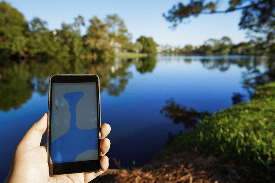
Geographic Information Sciences
Master's
Program Overview
Are you fascinated by how communities are organized? Do you want to help solve geographic challenges in city government, business, scientific research or public land management? If so, explore a master’s degree in geographic information sciences (GIS). You’ll gain essential computer skills, learn to work in the field or office, and develop a mix of creative and technical talents.
Program Snapshot
Why This Program & What You'll Learn
Get high-quality training in a cutting-edge field. You’ll gain a broad-based education that combines geography, information science, statistics, remote sensing and environmental studies. Plus, the wide diversity of faculty expertise empowers you to pursue your unique research interests.
The program features the most comprehensive GIS curriculum in Michigan. You’ll learn to apply geospatial technologies (spatial statistics, cartography, unmanned aerial systems, remote sensing) to areas such as:
- Surface hydrology.
- Atmospheric processes.
- Cultural and natural resource management.
- Demography.
- Historical change.
- Location analysis.
- Transportation/land use planning.
- Regional economics.
The curriculum allows for an in-depth education in a related area such as energy, transportation, wetland and water science.
This master’s program is available either through a Plan A option (thesis) or Plan B option (non-thesis). If you choose Plan A, you'll propose, complete and defend an MS thesis. With Plan B, you'll propose, complete and defend a research project and complete an additional course.
The program also provides departmental scholarships, research assistantships and teaching assistantships if you qualify. (Most of the graduate students in the program receive support as a teaching or research assistant.) You'll also be encouraged to present at state and national meetings, as well as publish your research in peer-reviewed journals.
Program Highlights
As a graduate student in geographic information sciences, you’ll:
- Work closely with faculty to develop and implement a research project
- Use state-of-the art geospatial technologies such as survey-grade GPS, unmanned aerial systems, enterprise software on servers and more!
- Join a network of accomplished alums working in management throughout Michigan, including in local government.
Careers & Outcomes
CMU alumni in this program have garnered professional roles in a variety of settings. Careers range from management positions in county and state governments to project managers at Environmental Systems Research Institute (ESRI) to spatial decision-making at private-sector firms across the country.
| Career | Projected Salary |
|---|---|
| Geographer | $85,220 |
| Cartographer | $68,900 |
| GIS Analyst | $62,612 |
Request Information about CMU
By submitting this form, I agree to receive calls, emails and/or text messages from Central Michigan University to discuss furthering my education.