Innovative Investigations
 Nathaniel Jones, a veteran of the US Marines and graduate student in the Department of Geography and Environmental Studies, uses PlanetScope, a spatial resolution imaging tool, to research the health of Michigan’s coastal wetland ecosystems. While these regions have been subject to various studies in the past and present, more research is needed to gain a better understanding of their ecosystems and how to best preserve them. Through his investigations of the wetland vegetation zones present in Michigan’s Great Lakes region, Nathaniel hopes to highlight a valuable research method that is easily repeatable, cost-effective, and can be used across other areas of interest.
Michigan’s coastal wetlands are some of the most fragile and important ecosystems within the state that play a vital role in understanding the overall health of the larger surrounding environment. However, invasive species, human disturbances, climate change, and other factors continue to threaten these ecosystems’ overall well-being and require timely monitoring to help researchers and conservationists better understand how to protect them.
Nathaniel proposes the use of PlanetScope, a spatial resolution imaging tool, in conjunction with ground collection data. This produces high-resolution images and allows for an easily repeatable, cost-effective, and expedient data collection method compared to more traditional aircraft-based alternatives to classifying wetland environments. Classification determines the land cover type that resides within the pixels that comprise an image (ex: the types of features, such as plants, that mostly comprise that pixel).
In this study, the classification of Michigan’s coastal wetlands will be conducted using PlanetScope, a constellation of satellites that offer daily imagery at a 3-meter spatial resolution. Resolution refers to the size of each pixel in an image; a single image can be comprised of hundreds or thousands of pixels. Furthermore, Nathaniel is confident that his 3-meter spatial resolution research can be built upon and further facilitate the future classification of these diverse landscapes.
PlanetScope imagery is a fast and relatively cost-effective monitoring tool that has the potential to innovate this area of study. Due to the dense and diverse nature of these environments, wetland classification has been difficult and seen various methods employed to meet the end goal. One such method relies on the utilization of high-resolution aerial imagery. However, images acquired via aerial flight have proven to be expensive and time-consuming. Nathaniel asserts that the current capabilities of PlanetScope exceed the performance of other aerial imaging techniques in certain aspects, such as daily imaging. Nathaniel expects that by providing an enhanced definition of the coastal wetland boundaries, future monitoring and conservation efforts will reap profound benefits.
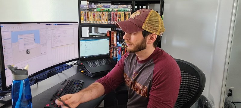
Nathaniel’s interest in geographical analyses and problem-solving came from his experience serving in the military. In 2010, Nathaniel joined the United States Marine Corps and served for 5 years where he experienced the different landscapes and cultures of Afghanistan, Korea, and Japan. This led him to study Geography and Environment Studies at CMU, “I was really looking for a job that was similar to what I had done in the Marine Corps”. Nathaniel explains how alluring the problem-solving and analysis aspects of Geography are, and how they remind him of his time serving in the military. After earning his master’s degree at CMU, Nathaniel is excited to join the workforce and continue his geographical research.
At CMU We Do Research, We Do Real World
Story by ORGS intern Hailey Nelson
April 2021