Now through October 31, we're waiving application fees for all freshman and transfer applicants!
*Common app code: Central27
Discover the world. Shape its future.
Prepare for careers in
GIS, Environmental Consulting, Urban Planning, Sustainability, Climate Science, and Emergency Management
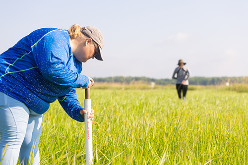
Learn by doing
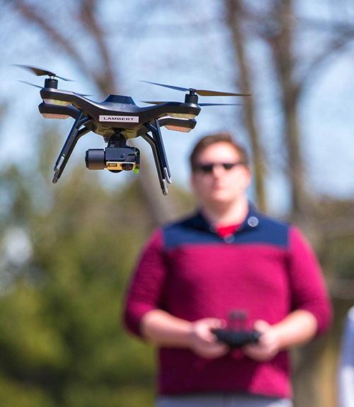
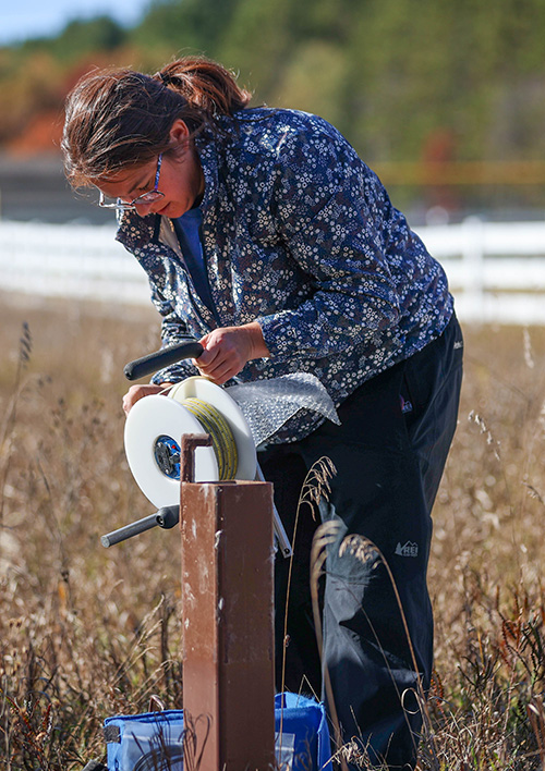
Learning extends far beyond the classroom. From your first year, you'll gain hands-on experience through field studies, undergraduate research, internships, community partnerships and applied projects. Whether you're collecting environmental samples, using drones to map landscapes or solving local planning challenges, you'll build practical skills while making a real impact.
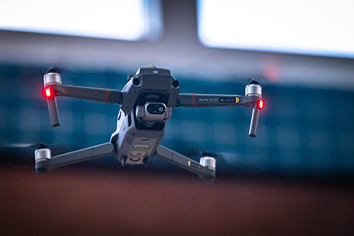
GIS and spatial technology
Geographic Information Systems (GIS) transforms data into powerful insights. At CMU, you'll learn to use industry-standard tools including ArcGIS, GPS, remote sensing, drone technology and spatial analytics to analyze environmental change, support community planning and solve complex problems. These highly sought-after technical skills prepare you for careers across science, business, government and technology.
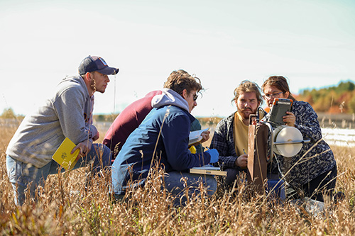
Faculty mentorship
At CMU, you'll work closely with faculty who are committed to your success. Small class sizes create opportunities for one-on-one mentoring, collaborative research and personalized career guidance. Whether you're preparing for graduate school, presenting research or landing your first internship, your professors will be with you every step of the way.
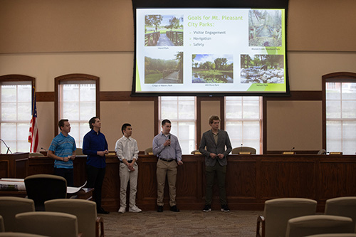
Career ready
Graduate with the technical expertise, field experience and problem-solving skills employers are looking for. Through internships, research, GIS training and real-world projects, you'll be prepared for careers in environmental consulting, sustainability, urban and regional planning, emergency management, conservation, government agencies and many other rapidly growing fields.
Find your path
Undergraduate Programs
On Campus
|
Online
{{undergraduate.Name}} ACCELERATED OPTION
We didn't find any results matching your criteria. Try adjusting or removing filters to see available options.
Undergraduate Certificates
On Campus
|
Online
{{undergraduateCertificate.Name}} ACCELERATED OPTION
We didn't find any results matching your criteria. Try adjusting or removing filters to see available options.
Graduate Programs
On Campus
|
Online
{{graduate.Name}} ACCELERATED OPTION
We didn't find any results matching your criteria. Try adjusting or removing filters to see available options.
Graduate Certificates
On Campus
|
Online
{{graduateCertificate.Name}} ACCELERATED OPTION
We didn't find any results matching your criteria. Try adjusting or removing filters to see available options.
Doctorate Programs
On Campus
|
Online
{{doctorate.Name}} ACCELERATED OPTION
We didn't find any results matching your criteria. Try adjusting or removing filters to see available options.
Where Can a Geography Degree Take You?
- GIS Analyst
- Environmental Consultant
- Urban Planner
- Emergency Management Specialist
- Sustainability Coordinator
- Climate Analyst
- Transportation Planner
- Natural Resource Manager
- Cartographer
- Environmental Policy Analyst
- Community Development Specialist
Geographic Information Science (GIS)
Turn data into decisions
Maps do more than show where things are, they reveal patterns, solve problems, and help shape the future.
At Central Michigan University, Geographic Information Science (GIS) combines geography with cutting-edge technology to help you analyze spatial data, visualize complex information, and solve real-world challenges. Whether you're studying climate change, planning smarter cities, protecting natural resources, or responding to natural disasters, GIS provides the tools to make an impact.
Students gain hands-on experience using industry-standard software and technologies while working alongside faculty on research, community projects, and applied learning experiences that prepare them for careers in one of today's fastest-growing fields.
You'll develop skills in:
- Geographic Information Systems (GIS)
- Spatial data analysis
- Digital cartography and web mapping
- GPS and field data collection
- Remote sensing
- Geographic data visualization
- Spatial problem solving
GIS powers careers in:
- Urban and regional planning
- Emergency management
- Natural resource management
- Transportation planning
- Public health
- Utilities and infrastructure
- Government agencies
- Conservation organizations
- Private industry
Why study GIS at CMU?
- Learn using industry-standard GIS software.
- Apply classroom knowledge through hands-on projects and field experiences.
- Work closely with faculty mentors on research and community partnerships.
- Build technical skills that complement majors across science, engineering, business, and public service.
- Graduate with the analytical and technological expertise employers are actively seeking.
Interested in GIS?
- Explore the Geographic Information Sciences program and discover how spatial technology can open doors to exciting careers.
Build skills across disciplines
Our students graduate with experience in:
- GIS and spatial analysis
- Environmental science
- Data visualization
- Climate and weather analysis
- Community planning
- Remote sensing
- Research methods
- Communicating and problem solving
Your experience in action

Graduate with a guarantee.
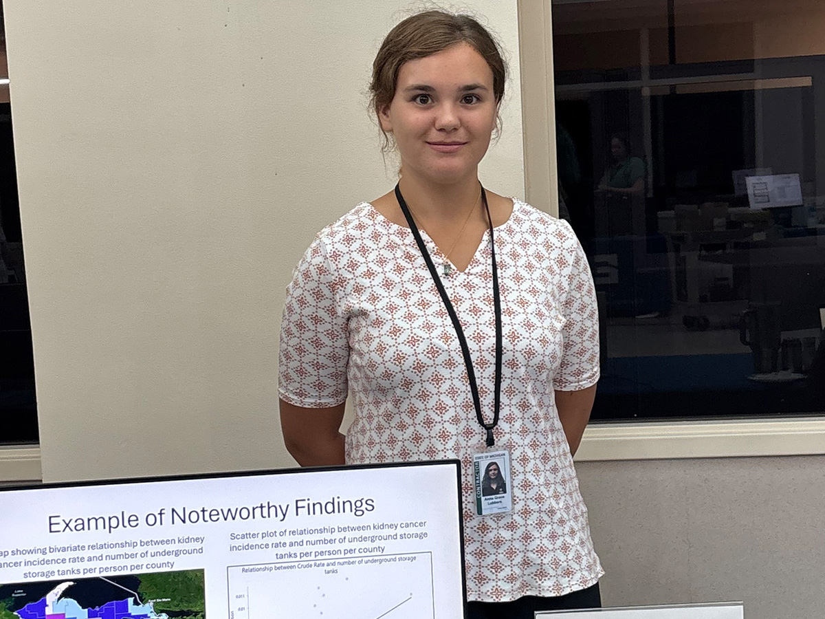
Graduate ready for your next steps with dedicated career support and hands-on experience in your field. We'll even guarantee it with the Central Career Guarantee. If you're eligible and opt in, we guarantee you'll have a job offer or acceptance to graduate school within six months of your graduation.*
Learn More About The Central Career Guarantee
*Eligibility, terms and conditions apply.
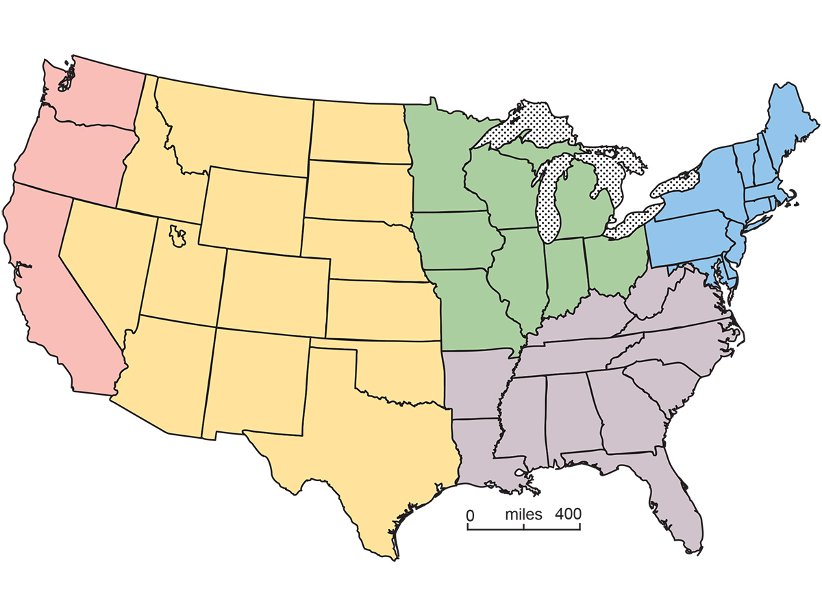
Michigan Geographic Alliance
College of Science and Engineering News

CMU Ph.D. student presents research on AI bias and fairness at international conference
Central Michigan University Ph.D. student Hairu Fan presents research on artificial intelligence bias, fairness and responsible AI at the international AIBThings 2026 conference.
Posted October 23, 2026
(2 Minute Read)
(2 Minute Read)
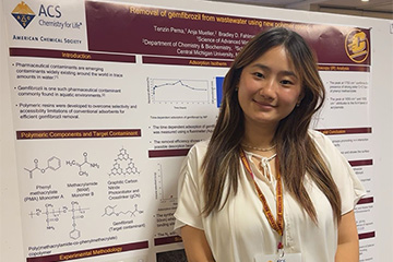
CMU doctoral student receives prestigious Dalai Lama Graduate Scholarship for environmental research
Central Michigan University doctoral student Tenzin Pema receives prestigious Dalai Lama Graduate Scholarship for her research developing innovative materials to remove PFAS and other emerging contaminants from wastewater.
Posted October 22, 2026
(4 Minute Read)
(4 Minute Read)
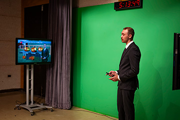
From CMU classroom to the green screen: Alum returns to prepare the next generation of broadcast meteorologists
CMU alum and WNEM meteorologist Diane Phillips returns to Central Michigan University to teach broadcast meteorology, helping students develop hands-on forecasting, communication and on-camera skills for careers in television and digital media.
Posted October 21, 2026
(7 Minute Read)
(7 Minute Read)
Upcoming Events
.jpg?sfvrsn=a3875657_6)
CMU Alumni & Friends at Capital One Area
Join fellow CMU alumni in the Washington, D.C. area for an exciting night of hockey as the Detroit Red Wings take on the Washington Capitals!
-
-
Cozy Cravings & Cocktails: Virtual Cooking Class
Join fellow CMU alumni and friends on November 12 from 6-7 p.m. EST for an evening in the kitchen with Cozy Cravings and Cocktails
-
-

Emma Norman Todd Distinguished Lecturer Series
The Emma Norman Todd Distinguished Lecture Series is an annual fall event that brings prominent scholars, authors, and activists to campus to speak on social justice, inclusive excellence, and community equality.
-
-