

Geography: Geographic Information Sciences
Major, Minor
Geographic information science overview
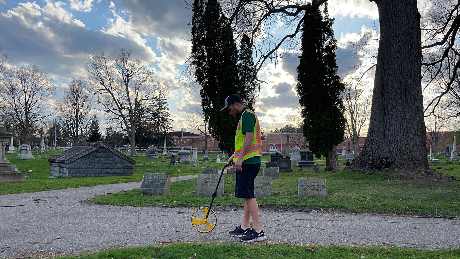
Tackle problems like climate change and public health with geographic information science. You'll learn how to use software and computer programming to gather, visualize and analyze data about people and places. For example, you could map wildlife habitats or determine the best place for city development.
Throughout your studies, you'll build hands-on experience through state-of-the-art virtual computing labs. You'll also complete a research capstone and create a professional portfolio. At graduation, you'll have the education, experience and materials you need for a successful career in the field.
AT A GLANCE
Why study geographic information science?
Geographic information scientists study and map environmental, business and health data to understand patterns and make decisions. For example, finding the best route for trucks to reduce emissions or even predicting flooding.
You'll start your major by building a foundation in physical geography, human geography and globalization. Then, you'll specialize your courses for a concentration in geographic information science. You'll study topics like environmental modeling, spatial statistics, python programming and more.
Along the way, you’ll gain essential technical skills. You'll work with the latest industry-leading geospatial technology. At the end of your degree, you'll prepare a digital portfolio highlighting your skills to future employers in a senior capstone course.
Highlights of our geographic information science program
As a geographic information science student, you’ll:
- Gain hands-on experience: Access industry-leading software with our state-of-the-art virtual computing labs – in the classroom, residence hall room or anywhere with internet access.
- Get personalized instruction: Participate in special field trips and/or conduct research with faculty in our small classes.
- Find a community: Join student organizations, like our Geography and Environmental Club, to meet new friends and mentors.
- Complete a senior capstone course: Network with alumni, develop a professional portfolio and complete a final research project to showcase your skills to future employers.
- Find support: Meet with geography and environmental studies academic advisors, who will help you plan your courses and even research career opportunities.
- Combine your major with certificates: Add onto your major with a certificate in cartographic design or drone regulations, operations and applications to impress future employers.
Geographic information science careers
A geographic information science concentration will prepare you for an in-demand career. You'll tackle the Earth's biggest problems in fields like business, environmental management, public health, government and more.
| Career | Projected Salary |
|---|---|
| Urban and Regional Planner | $83,720 |
| Cartographer | $78,380 |
| GIS Analyst | $78,380 |

From CMU student to GIS leader
Meet CMU alum Anthony Kowalchick. Shortly after graduation, he was hard at work helping Michigan communities map water and sewer lines. Now, he's working as a geographic information sciences analysis at AEW (Anderson, Eckstein, & Westrick, Inc), an engineering and design firm.
Request Information about CMU
By submitting this form, I agree to receive calls, emails and/or text messages from Central Michigan University to discuss furthering my education.